Iris Krüger · 4 September 2026
Unraveling How Urban Heat Islands Reshape Local Rain Intensity in European Cities
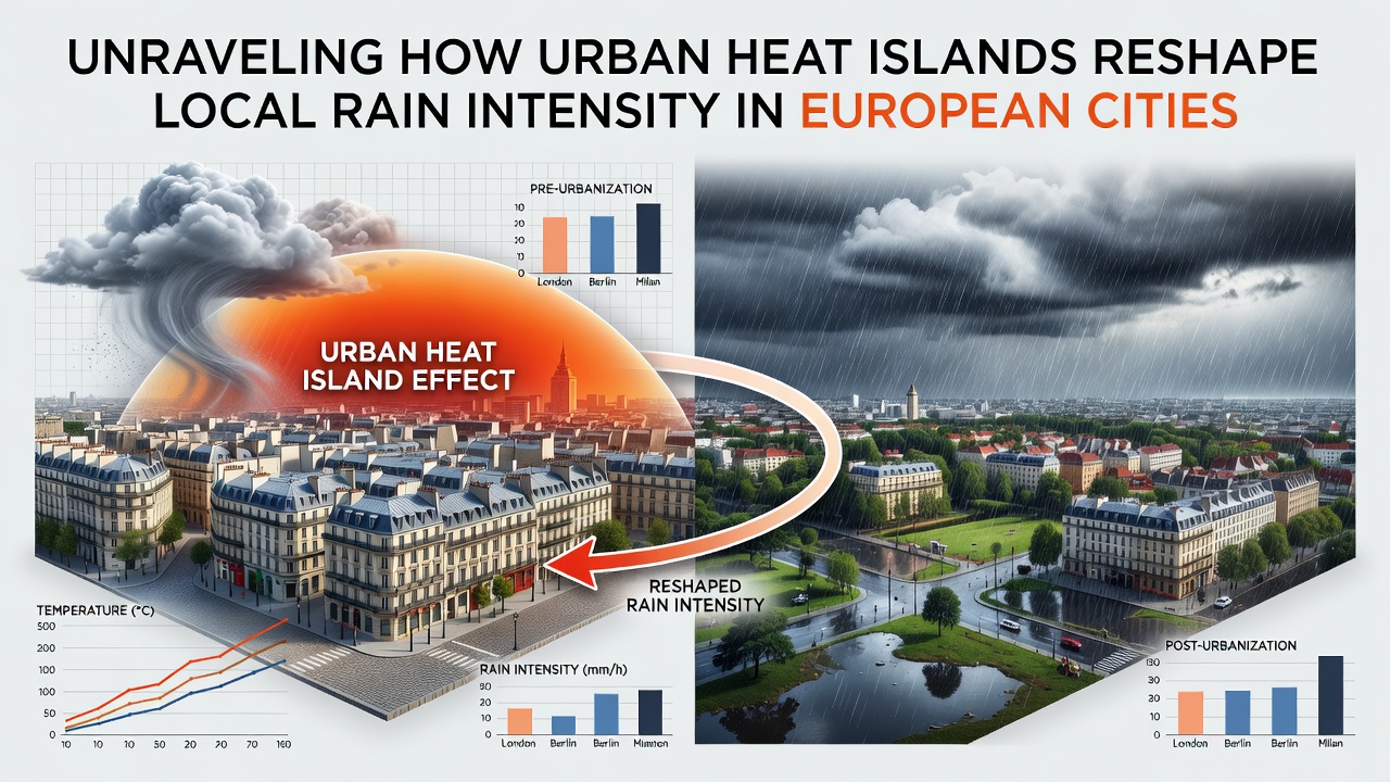
European cities have grown denser over recent decades, and this expansion has created measurable differences in how heat builds up within urban boundaries compared to surrounding rural areas; researchers track these differences through ground sensors and satellite data that reveal temperature gradients often exceeding 3 degrees Celsius during summer evenings. Urban heat islands form when concrete, asphalt, and building materials absorb sunlight throughout the day and release it slowly after sunset, which alters local air pressure patterns and encourages rising air parcels that can trigger cloud formation. Studies from multiple monitoring networks indicate that this additional heat modifies the timing and strength of convective storms, particularly in cities where moist air masses move across the urban core.
Mechanisms Linking Heat Islands to Rainfall Changes
Heat released from city surfaces warms the boundary layer and reduces atmospheric stability, so parcels of air ascend more readily and reach condensation levels sooner than they would over cooler countryside; this process increases the likelihood of localized showers forming directly over or slightly downwind of the urban area. Observers note that wind patterns shift slightly around tall structures, which can concentrate moisture in specific corridors and produce short bursts of higher rainfall rates. Data collected across sensor arrays show that urban cores often record rain intensities 10 to 25 percent above regional averages during warm-season events, although total seasonal accumulation varies with larger-scale weather systems. European Environment Agency reports document these patterns through consistent measurements taken at both urban and rural stations.
Observations from Major European Cities
Long-term records from London reveal that stations inside the built-up zone capture more frequent heavy-rain episodes than those on the outer fringe, while similar patterns appear in Paris where the Seine valley channels moist air across the city center. In Berlin, researchers have mapped rainfall cells that intensify after crossing the central districts, and comparable findings emerge from measurements in Milan and Madrid where summer thunderstorms align with peak heat-island hours. These case examples rely on rain-gauge networks supplemented by weather radar that captures the three-dimensional structure of precipitating clouds; the combined datasets allow analysts to separate urban influences from broader synoptic conditions.
Research Methods and Recent Data Trends
Scientists combine high-resolution climate models with observational records to isolate the contribution of urban heat to rainfall statistics, and these models reproduce observed increases in peak rain rates when surface heat fluxes are elevated. In September 2026, several ongoing campaigns continued to deploy temporary sensor clusters in cities including Warsaw and Vienna to refine estimates of how heat islands interact with changing background temperatures. Figures from university-led projects indicate that the effect strengthens during periods of weak large-scale winds, when local circulations dominate, whereas strong frontal systems tend to mask the urban signal. Satellite-derived land-surface temperature maps further confirm that neighborhoods with higher building density and lower vegetation cover experience the largest deviations in both temperature and associated precipitation intensity.
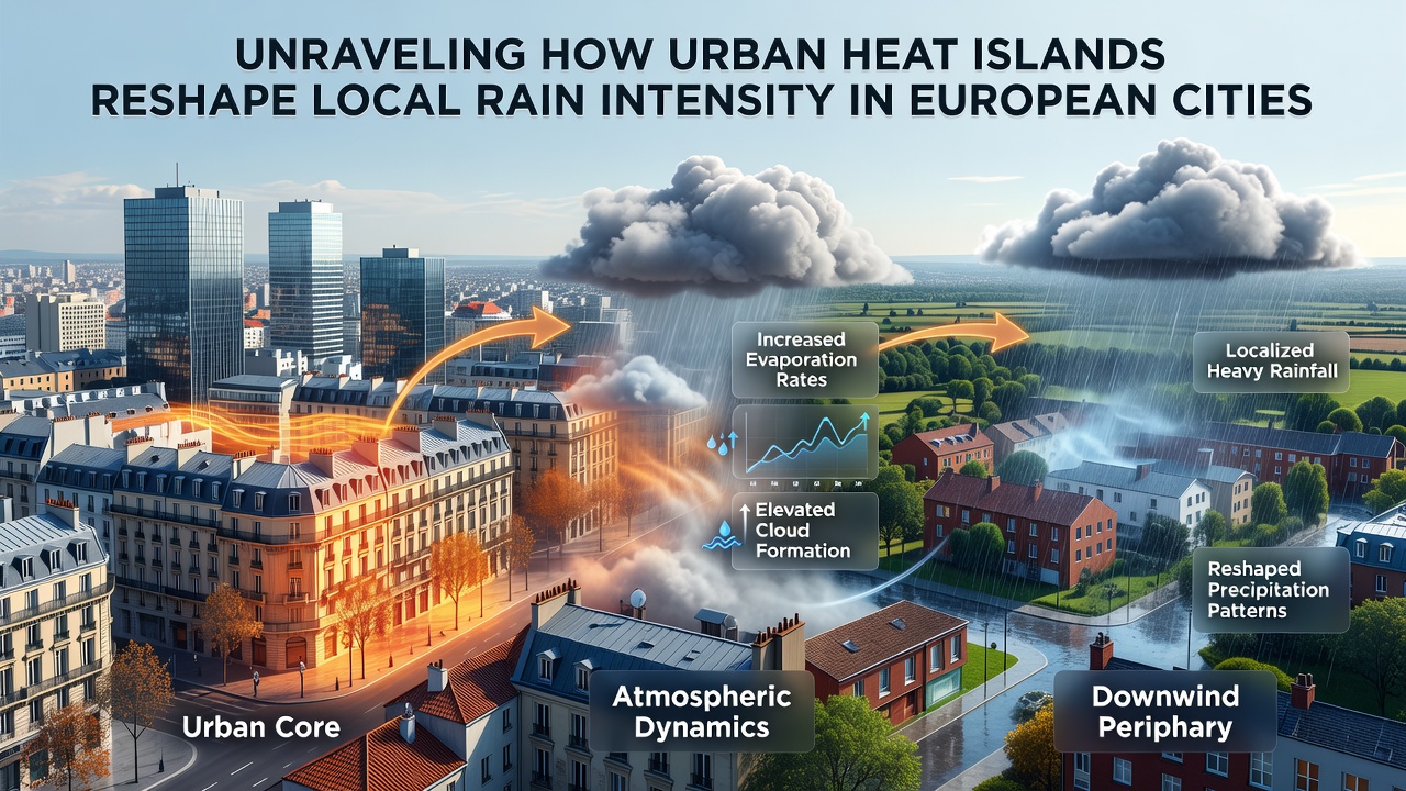
Additional analyses draw on reanalysis datasets that blend surface observations with atmospheric profiles, allowing investigators to quantify how much extra moisture convergence occurs over heated urban surfaces. One study from a Dutch research institute examined five decades of records and identified a gradual rise in the frequency of short-duration, high-intensity events that coincides with urban expansion timelines. Another project coordinated across several EU member states used mobile radar units to track individual storm cells and documented systematic strengthening after passage over city centers. These findings align with measurements reported by national meteorological services that maintain standardized rain-gauge networks across the continent.
Implications for Urban Planning and Infrastructure
City authorities use rainfall statistics adjusted for urban heat effects when sizing drainage systems and designing green infrastructure that can intercept runoff before it reaches combined sewer networks. Planners in Amsterdam and Copenhagen have incorporated heat-island mitigation measures such as reflective roofs and expanded tree canopy into storm-water management plans, and these interventions appear in updated design guidelines released by regional authorities. Data from monitoring programs show that areas with greater vegetation cover experience smaller temperature excesses and correspondingly lower peak rain rates during convective events. Continued collection of high-density observations remains essential for updating intensity-duration-frequency curves that engineers apply to new construction projects.
Conclusion
Measurements across European cities demonstrate that urban heat islands modify local atmospheric conditions in ways that increase the intensity of certain rainfall events, and these modifications appear consistently in observational records and model simulations. Continued expansion of sensor networks and refinement of numerical models will support more precise quantification of the effect in coming years. Authorities and researchers rely on these data to inform infrastructure decisions that account for the distinct rainfall patterns generated within and around urban centers.