Erik Griffin · 2 October 2026
Mapping the Interplay of Cloud Seeding Experiments and Their Role in Mitigating Drought Cycles Within Iberian Agricultural Zones
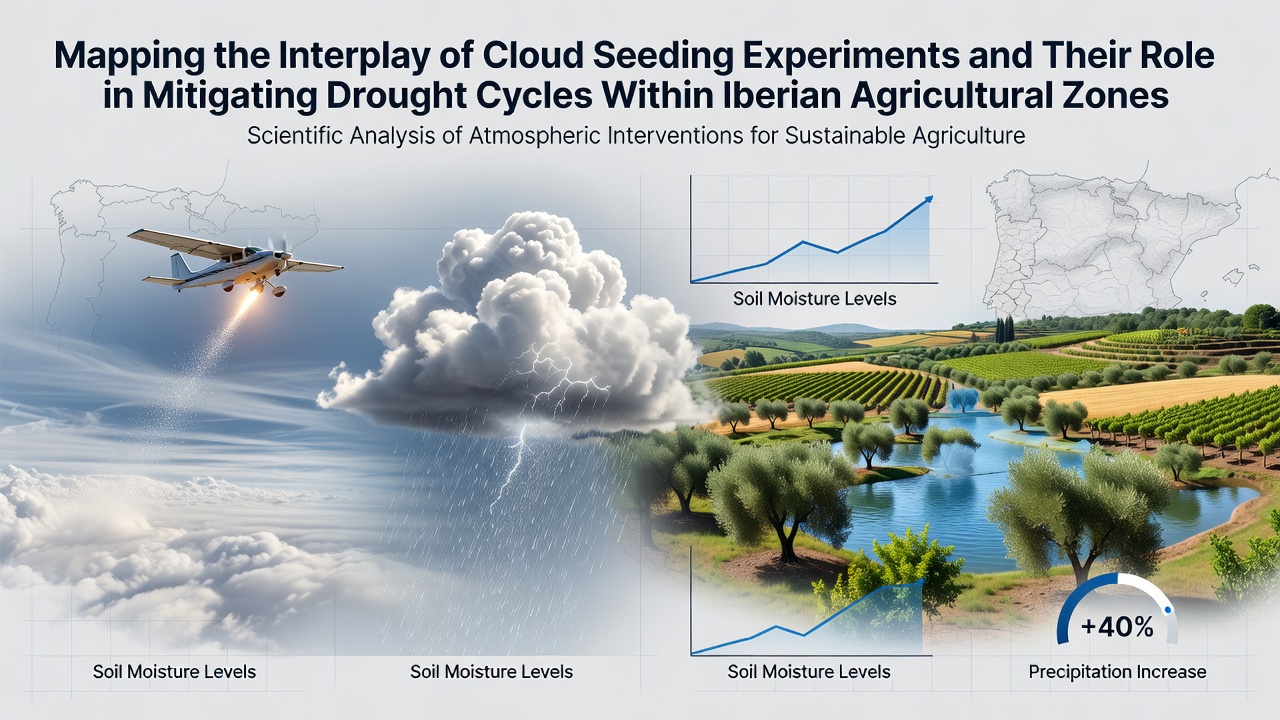
Cloud seeding experiments across the Iberian Peninsula have drawn increasing attention as agricultural zones in Spain and Portugal face recurring drought cycles that threaten crop yields and water supplies, and researchers have mapped these initiatives to track their geographic distribution and timing relative to dry periods. The process involves dispersing agents such as silver iodide into clouds to encourage precipitation, and mapping efforts combine satellite data with ground observations to identify patterns in experiment locations and outcomes. Agricultural regions like Andalusia in Spain and the Alentejo in Portugal show particular vulnerability, where olive groves and vineyards depend on consistent rainfall patterns that have become less reliable in recent decades.
Geographic Distribution of Seeding Sites
Mapping projects reveal that seeding operations cluster around river basins and highland areas that feed into major farming districts, with teams deploying aircraft and ground generators in coordinated campaigns that align with forecasted cloud formations. Data from meteorological networks indicate these sites often coincide with zones experiencing prolonged deficits in soil moisture, allowing analysts to overlay experiment records onto drought indices derived from the Standardized Precipitation Index. Such overlays highlight how operations in the Pyrenees foothills connect to downstream agricultural relief in Catalonia, while similar efforts in central Portugal target the Tagus River watershed that supports extensive cereal production.
Technical Methods and Data Integration
Scientists integrate radar imagery with precipitation gauges to evaluate cloud responses, and they employ geographic information systems to correlate seeding events with changes in local rainfall totals over multi-year cycles. Experiments typically use aircraft releases during winter months when convective clouds form more readily, and mapping software tracks variables including wind patterns, temperature profiles, and aerosol concentrations to assess intervention effectiveness. Researchers from institutions such as the University of Barcelona have compiled datasets that span from the early 2000s onward, revealing clusters of activity during specific drought phases that hit the region in 2012, 2017, and 2022.
Effects on Crop Production Cycles
Agricultural records show that targeted precipitation increases can support irrigation reserves for crops including almonds, citrus, and grapes, and mapping analyses connect seeding zones directly to reductions in water stress indicators measured at farm level. In regions where operations occurred regularly, yield data from the Spanish Ministry of Agriculture indicate modest stabilization during subsequent dry spells, though outcomes vary with cloud availability and timing precision. Portuguese studies track similar patterns in the Douro Valley, where seeding aligns with critical growth stages for vineyards and helps maintain reservoir levels that supply both farms and urban centers.
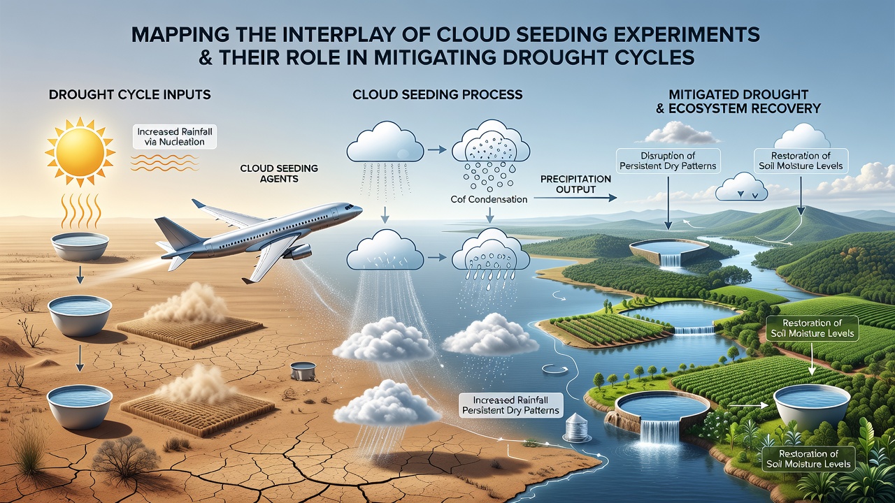
October 2026 brought new mapping updates from ongoing projects that incorporated fresh satellite passes over seeding corridors in Extremadura and the Ebro Valley, and these updates revealed expanded coverage in areas previously limited by regulatory approvals. The additional data layers allowed for refined models that predict potential precipitation gains based on historical drought recurrence intervals, which average every three to five years in many Iberian farming districts. Analysts note that integration of real-time atmospheric monitoring has improved site selection, reducing overlap with protected natural areas while maintaining focus on productive agricultural land.
Regulatory Frameworks and Cross-Border Coordination
Both Spain and Portugal operate under European Union guidelines that govern weather modification activities, and mapping efforts now include regulatory boundaries to ensure compliance across shared river basins such as the Guadiana. National agencies coordinate through joint working groups that share seeding logs and drought monitoring outputs, creating unified datasets that span the entire peninsula. These collaborations facilitate analysis of how operations in one country influence precipitation patterns that extend into neighboring agricultural zones, particularly during large-scale atmospheric events.
Challenges in Measurement and Attribution
Attributing specific rainfall events to seeding remains complex because natural variability in Mediterranean weather systems often overlaps with intervention periods, and mapping studies address this by applying statistical controls that compare seeded and unseeded cloud cells within the same storm systems. Equipment limitations and variable cloud responses contribute to uncertainty ranges in reported precipitation increases, which researchers quantify through ensemble modeling approaches. Ongoing work incorporates machine learning to process large volumes of radar and satellite inputs, refining the spatial resolution of impact maps that guide future experiment placement.
Conclusion
Mapping the interplay between cloud seeding experiments and drought mitigation in Iberian agricultural zones provides a framework for understanding how these interventions fit into broader water management strategies, and continued data collection supports more precise targeting of resources during critical dry phases. The integration of geographic tools with meteorological records allows stakeholders to visualize connections across scales, from individual farm plots to regional watershed systems. As drought cycles persist, such mapping initiatives offer structured insights into the distribution and timing of seeding activities that intersect with agricultural needs.