Erik Griffin · 1 September 2026
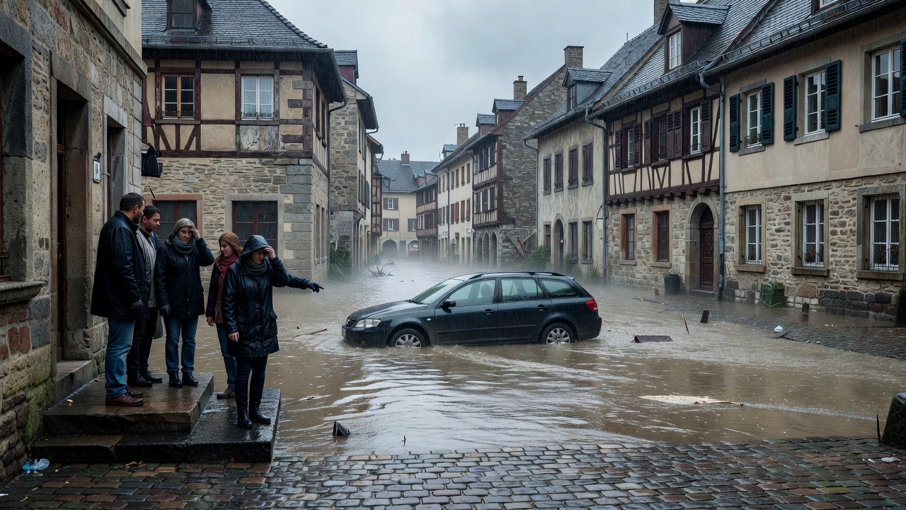
Recent analyses of precipitation records indicate that extreme rainfall events have become more frequent and intense across much of Europe, directly contributing to widespread flooding. Data from multiple weather stations reveal that several regions experienced rainfall totals exceeding historical averages by 50 percent or more during key storm periods. These patterns align with observed increases in flood occurrences in countries including Germany, Belgium, and the Netherlands.
Rainfall Intensity Trends in Europe
Long-term monitoring shows a clear upward trend in the intensity of short-duration rainfall events. Hourly precipitation rates have risen notably since the late 20th century, with some areas recording events that surpass previous maxima. Statistical models attribute this shift partly to warmer atmospheric conditions that allow air masses to hold greater moisture. Comparative studies of rainfall patterns from 1990 onward demonstrate that the frequency of days with over 50 millimeters of rain has doubled in parts of central Europe. Such changes in rainfall distribution have heightened runoff volumes, overwhelming drainage systems and river capacities during peak events.
Regional variations exist, with northern and western Europe showing stronger signals of intensification compared to southern areas. Satellite-derived estimates corroborate ground measurements, confirming that convective storms are delivering more concentrated downpours. These observations underscore the need for updated hydrological models that incorporate evolving rainfall statistics rather than relying solely on past climatology.
Flood Risk Assessment and Mitigation
Flood events linked to extreme rainfall have caused significant economic and infrastructural damage in recent years. Assessments indicate that river basins with limited natural retention capacity are particularly vulnerable when intense precipitation coincides with saturated soils. Mitigation strategies now emphasize improved early warning systems based on real-time rainfall monitoring and enhanced urban drainage infrastructure. Policymakers are also considering land-use adjustments to reduce impervious surfaces and promote natural water absorption. Continued analysis of rainfall patterns remains essential for refining flood probability estimates and guiding adaptive measures across the continent.